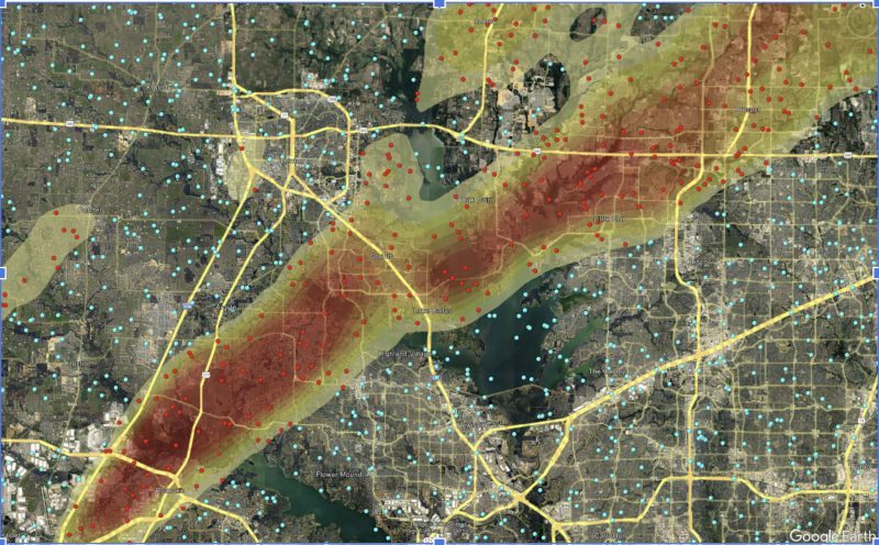
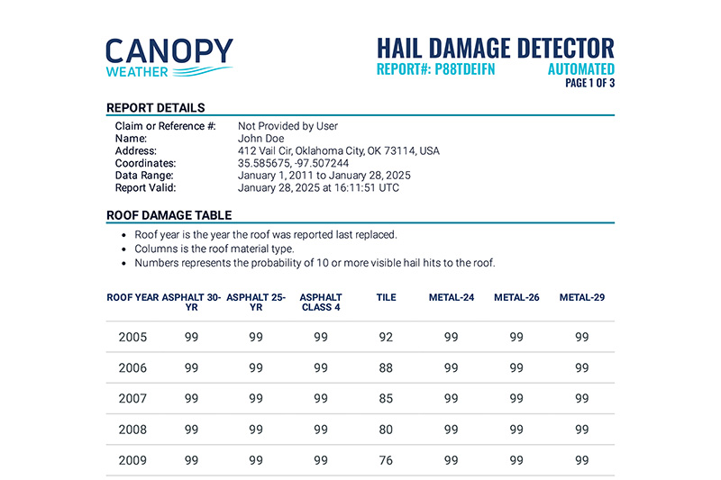
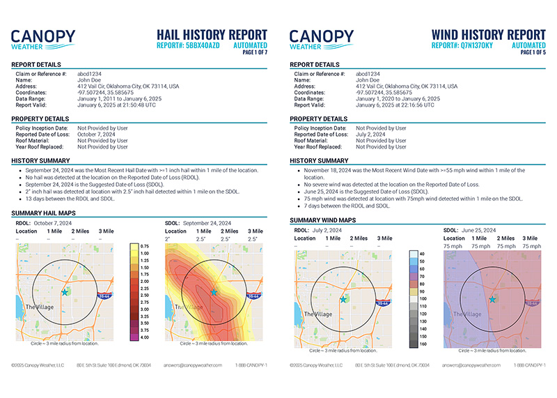
Our Weather Peril Maps deliver up-to-the-minute, high-fidelity storm intelligence across the continental United States—empowering claims managers, catastrophe response teams, actuaries, and reinsurers alike. With updates as frequent as every 15 minutes for hail, hourly for wind, and within an hour for tornado events, these maps capture the geospatial path of severe weather along with vital metrics such as hail size, wind speed, and tornado paths and estimated EF-scale ratings. Integrated seamlessly into your existing workflows via APIs, they enable efficient claims processing by clearly delineating impacted areas and expediting resource deployment.
Canopy's Weather Peril Maps offer indispensable data for loss reserving and disaster response planning, ensuring that all stakeholders can make informed, data-driven decisions when every moment counts.
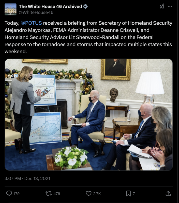
The Weather Maps FEMA Presents to The White House
Ready to Try a sample Weather peril Map?
Simply complete the form below, and one of our specialists will reach out to discuss your requirements. Our maps provide high-fidelity, near real-time insights into severe weather events—empowering claims managers, disaster response teams, and actuaries to make informed, data-driven decisions. Let’s get started on streamlining your operations with actionable storm data!
Weather peril Map FAQ
Who do Weather Peril Maps like Hail Maps, Wind Maps, & Tornado Maps help?
Claims managers, catastrophe response managers, actuaries, and reinsurers/reinsurance brokers
How do Weather Peril Maps help?
Our maps help:
Claims managers handle claims efficiently
Catastrophe & disaster response managers (like FEMA) improve response logistics right after a severe storm occurs
Reinsurers / reinsurance brokers provide a value-add to their customer, the carrier
Our maps are trusted by leading insurance carriers and even FEMA—who uses Canopy’s tornado maps in White House briefings—to empower organizations to make data-driven decisions in the face of severe weather.
How often are Weather Peril Maps updated?
Our maps are updated & available within the following time periods after a storm:
Hail: 15 min
Wind: 1-hr
Tornado: Variable, usually 1-hr or less
How can these maps be integrated into my workflow?
Weather Peril Maps can be integrated directly into your workflow with our API
Can Weather Peril Maps be used to verify the precise Date of Loss for an event?
Not always. Often, more than one storm event needs to be analyzed to determine a precise Date of Loss for a property.
What do Weather Peril Maps indicate?
These maps show the geospatial path of the event.
Hail maps indicate hail size over the area
Wind maps indicate the speed experienced over the area
Tornado maps show the path and estimated EF-scale ranking of each tornado
NOTE: These hazard maps indicate areas that maypossibly have damage but are NOT damage maps.